Ma On Shan
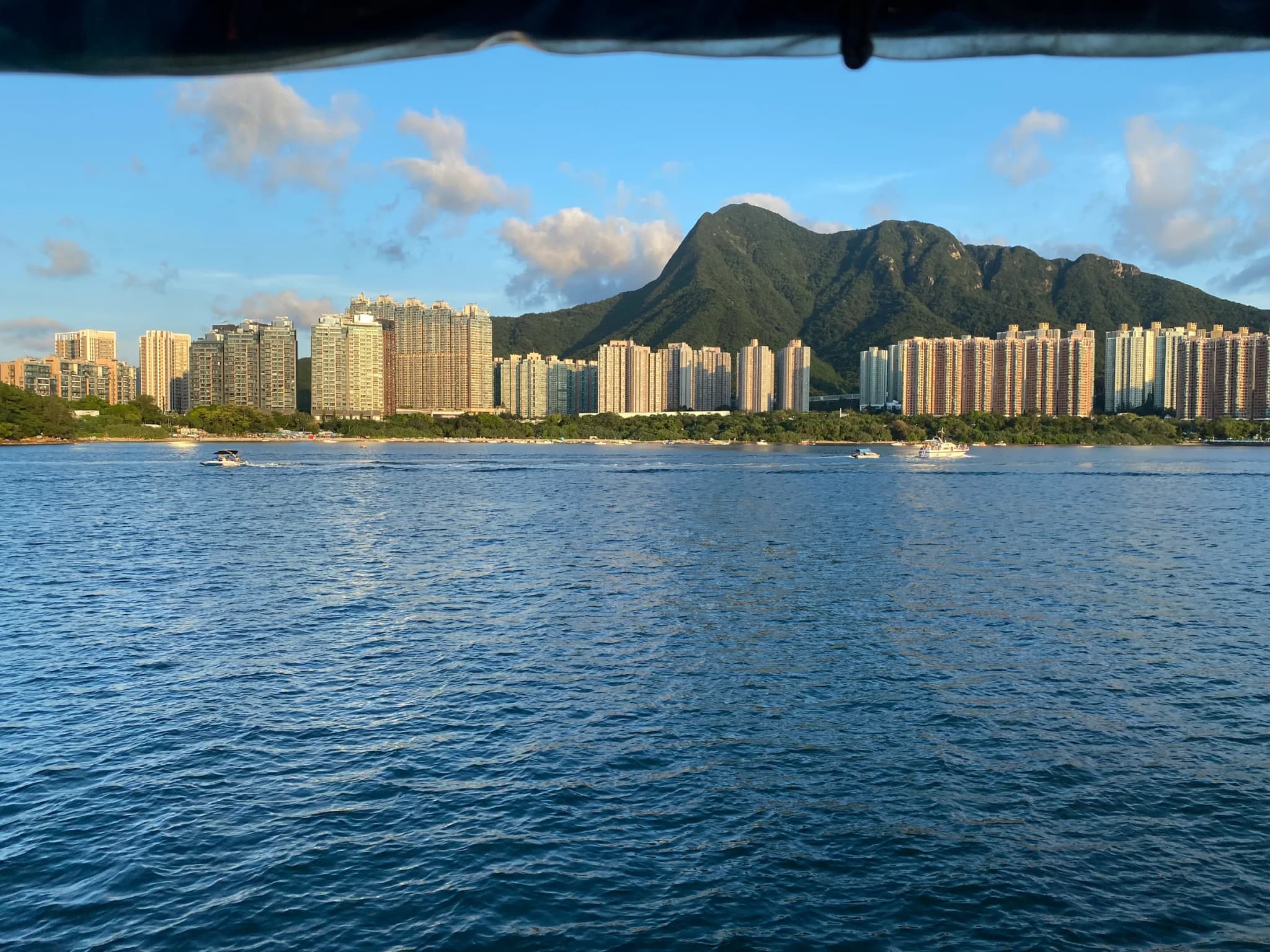
Seen from Tolo Harbour, Ma On Shan is unmistakable: two humps separated by a dip, the saddle-shaped silhouette that gives the mountain its name, which means 'saddle mountain'. At 702 metres it is not the highest peak in Hong Kong, but its summit route is regularly named among the territory's hardest day hikes, and the reason is terrain rather than height. The walk begins innocently on the Ma On Shan Family Walk, a manicured path inside the country park. Past it the surface degrades to dirt through scrub, then to a steep, loose-rock climb up Tiu Shau Ngam. Next come the Hunch Backs, a row of rocky false summits around 677 metres that need hands as well as feet. It is scrambling rather than climbing, but it is relentless. The last approach to the top runs along one of Hong Kong's most photographed ridgelines: a narrow spine of bare rock with the green hills of the Sai Kung peninsula dropping away on one side and Tolo Harbour and the towers of Ma On Shan town on the other. The upper mountain is open grass and shrub on volcanic soil, a sharp contrast with the forested lower slopes. On the south-west flank lie the remains of the Ma On Shan iron mine, worked from 1906 until 1976. After the summit most hikers drop onto MacLehose Trail Section 4 and cross the Ngong Ping plateau, a broad, gentle grassy tableland once used for grazing, before a long staircase down into Sai Kung and a seafood dinner on the waterfront. Take at least two litres of water, start early to beat both the heat and the afternoon cloud that often hides the summit, and save this one for dry days. Mobile signal is patchy near the top.
Photos (1)
Comments on "Ma On Shan"
Have a take on this ranking?
Comments are how the argument actually happens here. Posting one needs a free account — it takes about a minute.
No comments yet.
The first comment sets the terms of the argument.