MacLehose Trail Stage 1: High Island Reservoir
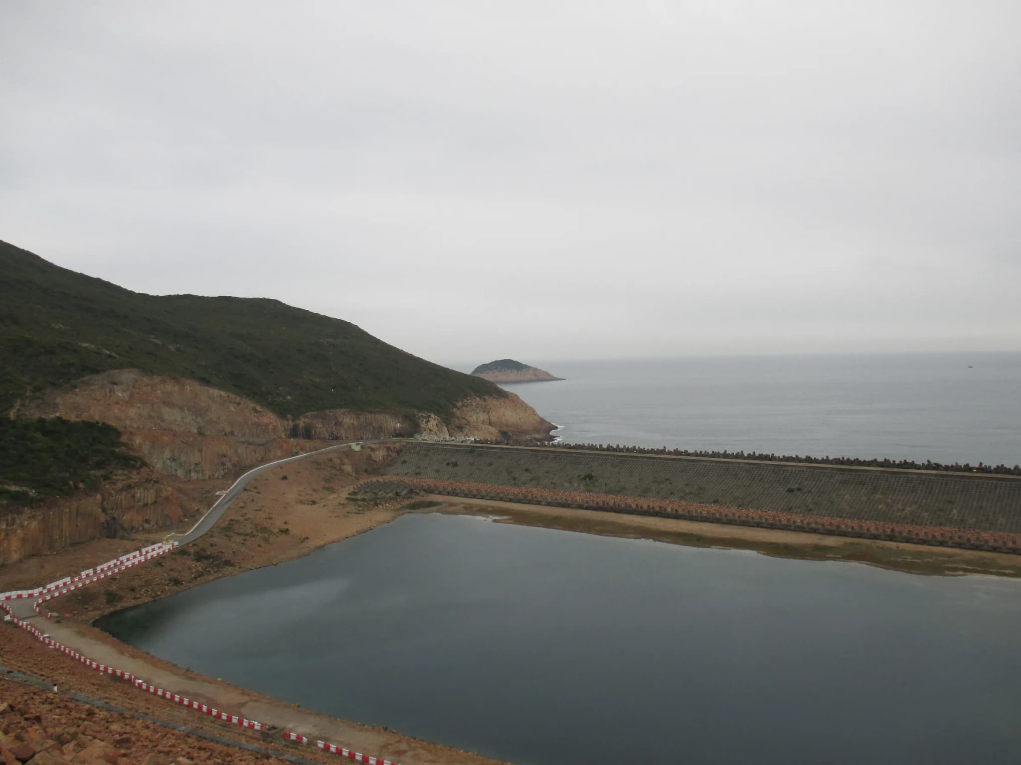
The first stage of the 100-kilometre MacLehose Trail is the gentlest walk on this list, and it passes some of the strangest scenery in Hong Kong. From the country park entrance at Pak Tam Chung, beyond which private cars are not allowed, the route follows paved roads along the southern shore of High Island Reservoir, the largest reservoir in Hong Kong by capacity. The reservoir was built in the 1970s by damming the Kwun Mun Channel, the strip of sea that used to separate High Island from the Sai Kung Peninsula. It was a response to the water shortages of the late 1960s. The result is a huge inland lake ringed by green hills, and the road crosses both of its dams. The West Dam looks across to the golf course on Kau Sai Chau. The East Dam is the highlight: the cliffs beside it are made of tightly packed hexagonal volcanic rock columns, part of the Hong Kong UNESCO Global Geopark and recognised as internationally rare. The road runs right past them, so no scrambling is needed to see them close up. After the East Dam a set of steps drops to Long Ke Wan, a small, sheltered bay of pale sand and clear water between steep headlands. It is one of the loveliest beaches in the territory, and it is where Stage 1 ends and the much harder Stage 2 begins. The catch is logistics. Long Ke has no bus, so most walkers either return along the road or continue north over the hills. Taxis can drive the reservoir road, which is how many people shorten the day. Because the whole stage is paved and graded, it is also a good choice for families, a first long walk, or a calm late-afternoon outing when the hills turn golden over the water.
Photos (1)
Comments on "MacLehose Trail Stage 1: High Island Reservoir"
Have a take on this ranking?
Comments are how the argument actually happens here. Posting one needs a free account — it takes about a minute.
No comments yet.
The first comment sets the terms of the argument.