MacLehose Trail Stage 2: Tai Long Wan Beaches
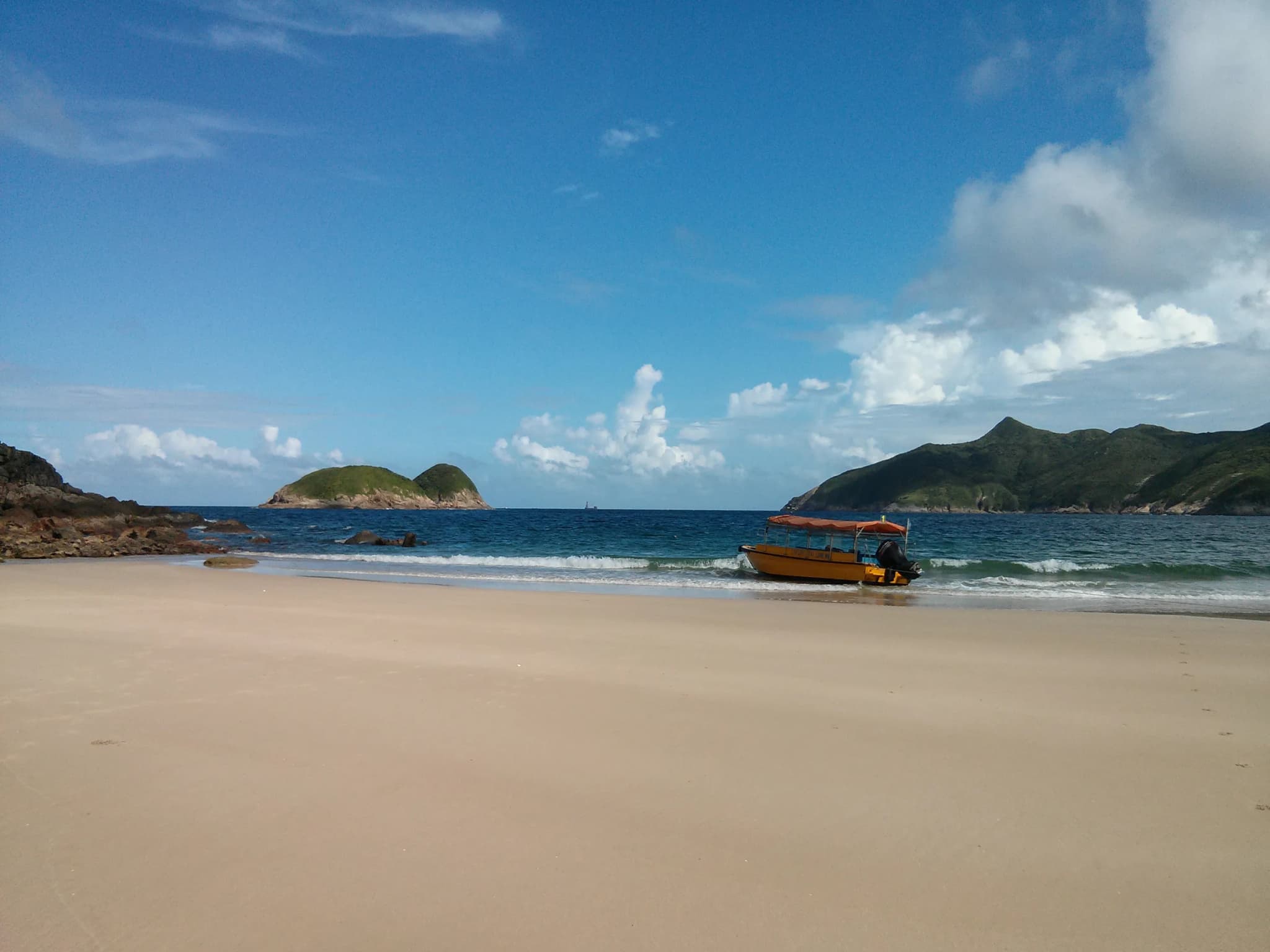
If this list ranked on scenery alone, this stage would be near the top. Tai Long Wan, meaning Big Wave Bay (not to be confused with the one at the end of Dragon's Back), is a string of wide, white-sand beaches backed by green mountains. MacLehose Trail Section 2 is the trail that walks the whole length of it. It sits at number ten because of the effort involved: no transport at the start, a long, exposed day, and a stiff climb straight away. The stage begins at Long Ke Wan, where Stage 1 ends, and immediately climbs Sai Wan Shan, 314 metres, with no tree cover at all. From the top the view opens north over Tai Long Wan's beaches and the dark pyramid of Sharp Peak behind them. The trail drops to Sai Wan, a small beach with a campsite and natural rock pools, then follows the coast over short headlands to Ham Tin, the social hub of the bay. Ham Tin has a couple of family-run stores selling drinks and noodles and a boardwalk over the wetland behind the sand. From Ham Tin the trail turns inland through the Chek Keng valley, past old Hakka village sites and terraced fields long since reclaimed by forest, before a final sustained climb to the road at Pak Tam Au. There are toilets there and minibuses back to Sai Kung. Many hikers make it a two-day trip, camping at Sai Wan or Ham Tin. Others take the calm-weather kaito from Sai Kung to shorten the approach. However you do it, start early and bring swimwear: the sea here is the best reward on any Hong Kong trail.
Photos (1)
Comments on "MacLehose Trail Stage 2: Tai Long Wan Beaches"
Have a take on this ranking?
Comments are how the argument actually happens here. Posting one needs a free account — it takes about a minute.
No comments yet.
The first comment sets the terms of the argument.