Ng Tung Chai Waterfalls
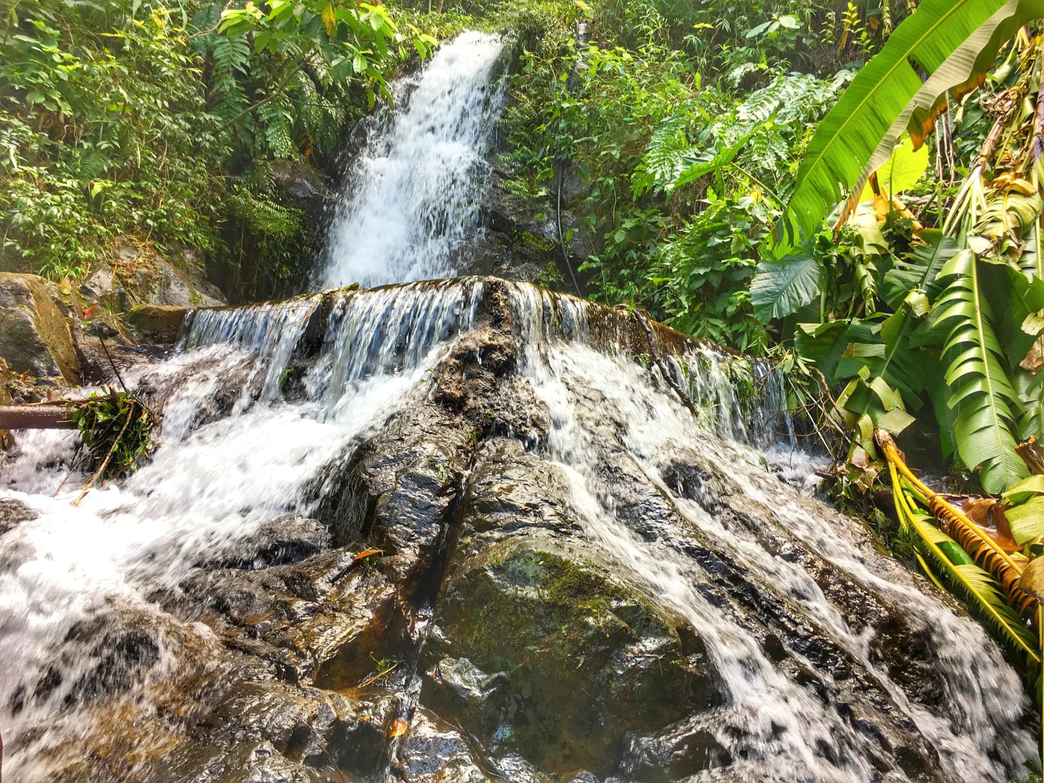
Most Hong Kong hikes are about ridgelines and sea views. Ng Tung Chai is about water. The trail climbs the shaded northern flank of Tai Mo Shan, Hong Kong's highest mountain, following a stream that drops over a staircase of waterfalls. At the top is the Main Fall, around 35 metres high and the tallest waterfall in Hong Kong. The walk starts in Ng Tung Chai village on Lam Kam Road and passes Man Tak Yuen, a small hillside temple, before the path slips into dense subtropical forest and begins to climb beside the water. The falls come in sequence. Bottom Fall, a modest drop about 20 minutes in, is followed by the Middle Fall, then the Main Fall pouring over a mossy rock face into a plunge pool. Above it is Scatter Fall, where the stream fans out thinly across a wide slab. A fainter side path leads to a further fall and is noticeably harder, so leave it to experienced hikers. Underfoot the trail alternates between concrete steps, packed earth, bamboo groves and bare rock beside the stream. Most of it is under canopy, which makes it one of the more bearable hikes on a warm day, though humidity in the ravine is high. From the upper falls you can keep climbing to the Tai Mo Shan road and loop back, turning a half-day into a full one. Timing matters more here than on any other trail on this list. After a dry spell the falls shrink to trickles. After heavy rain the stream becomes dangerous. Aim for a clear day shortly after rain, bring grippy shoes, and take a torch if you set off late: the forest gets dark early under the trees.
Photos (1)
Comments on "Ng Tung Chai Waterfalls"
Have a take on this ranking?
Comments are how the argument actually happens here. Posting one needs a free account — it takes about a minute.
No comments yet.
The first comment sets the terms of the argument.